
University News
![[Download Print-Quality Image]](http://www.wiu.edu/images/news/16803/16803_9321_1.jpg)
GIS Day Nov. 13 at WIU
November 7, 2019
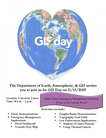
MACOMB, IL – The Western Illinois University Department of Earth, Atmospheric and GIS will host GIS Day from 10 a.m.-2 p.m. Wednesday, Nov. 13 at the University Union.
Activities include a public safety/emergency management/GIS panel discussion at 10 a.m. in the Union's Lincoln Room. Other events planned include drone demonstrations, emergency management applications, such as the flood dashboard and tornado story map, Doppler radar demonstrations, the topography sand table and law enforcement applications, such as the analysis of crime patterns and use of thermal cameras.
"Eagis and the GIS Center are pleased to participate in GIS Day to demonstrate to power of place and its interdisciplinary nature as well as the tremendous career opportunities that await our students," said GIS Center Director Chad Sperry.
For more information about the event, email the center at GISCenter@wiu.edu.
Posted By: University Communications (U-Communications@wiu.edu)
Office of University Communications & Marketing
Connect with us: