
Earth, Atmospheric, and Geographic Information Sciences
Department of Earth, Atmospheric, and Geographic Information Sciences
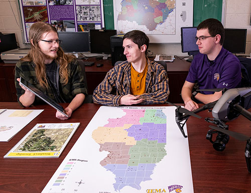
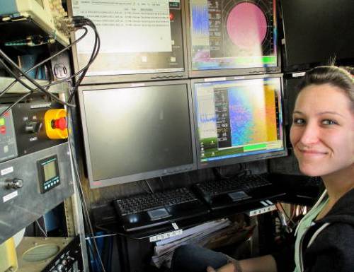
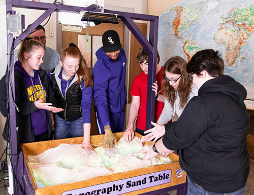
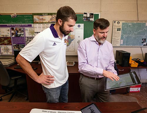
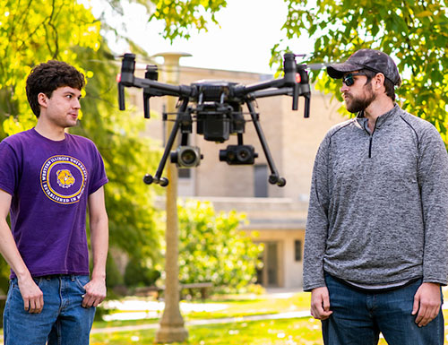
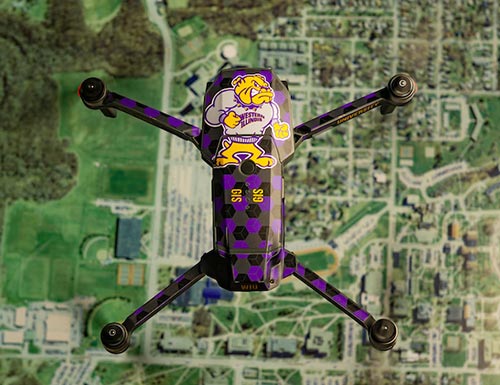
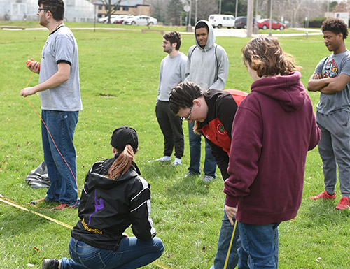
Welcome to the Department of Earth, Atmospheric, and Geographic Information Sciences (EAGIS). We invite you to explore our programs. The curriculum is diverse and flexible, fitting the needs of all students. Our students are trained to be successful immediately after graduation.


Connect with WIU: